
INDIAN ARMED FORCES CHIEFS ON
OUR RELENTLESS AND FOCUSED PUBLISHING EFFORTS

SP Guide Publications puts forth a well compiled articulation of issues, pursuits and accomplishments of the Indian Army, over the years

I am confident that SP Guide Publications would continue to inform, inspire and influence.

My compliments to SP Guide Publications for informative and credible reportage on contemporary aerospace issues over the past six decades.
- Prime Minister witnesses 'Bharat Shakti' – a Tri-Services Firing and Manoeuvre Exercise in Pokhran, Rajasthan
- Interim Defence Budget 2024-25 — An Analysis
- Union Defence budget 2024
- Prime Minister Modi Commemorates Indian Navy Day in a Grand Ceremony
- Prime Minister Modi Flies in the LCA Tejas
- New Chapter in India-Italy Defence Ties
- Airpower beyond Boundaries
Bluesky launches drones for aerial surveying
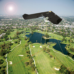
Aerial survey company Bluesky has launched a fast response aerial survey service using state of the art unmanned aerial vehicles (UAV) or drones. The technology, originally developed by the military, includes Artificial Intelligence (AI) guided autopilot, high resolution integrated camera and environmentally friendly rechargeable propulsion system. Autonomous take-off and landing ensures the system is easy to use and with a wingspan of less than a metre it can be easily transported without the need for complex assembly.
“Using UAV’s we can respond quickly to demands to collect site specific images and data in a very cost effective way,” commented James Eddy, Technical Director at Leicestershire-based Bluesky. “The integrated camera captures high resolution photogrammetric images that can be used to create map accurate aerial survey data including height models. The system is compact and lightweight making it easy to store and transport and can be launched by hand from virtually any location. Flight planning software and an Artificial Intelligence-guided autopilot make it easy to control and the system will gently and safely return to the ground with a single touch of a button.”
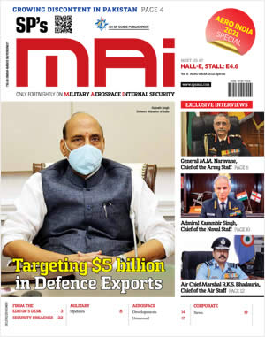
SP's MAI - CURRENT ISSUE